East Timor
Global Perspective, Local Expertise.™
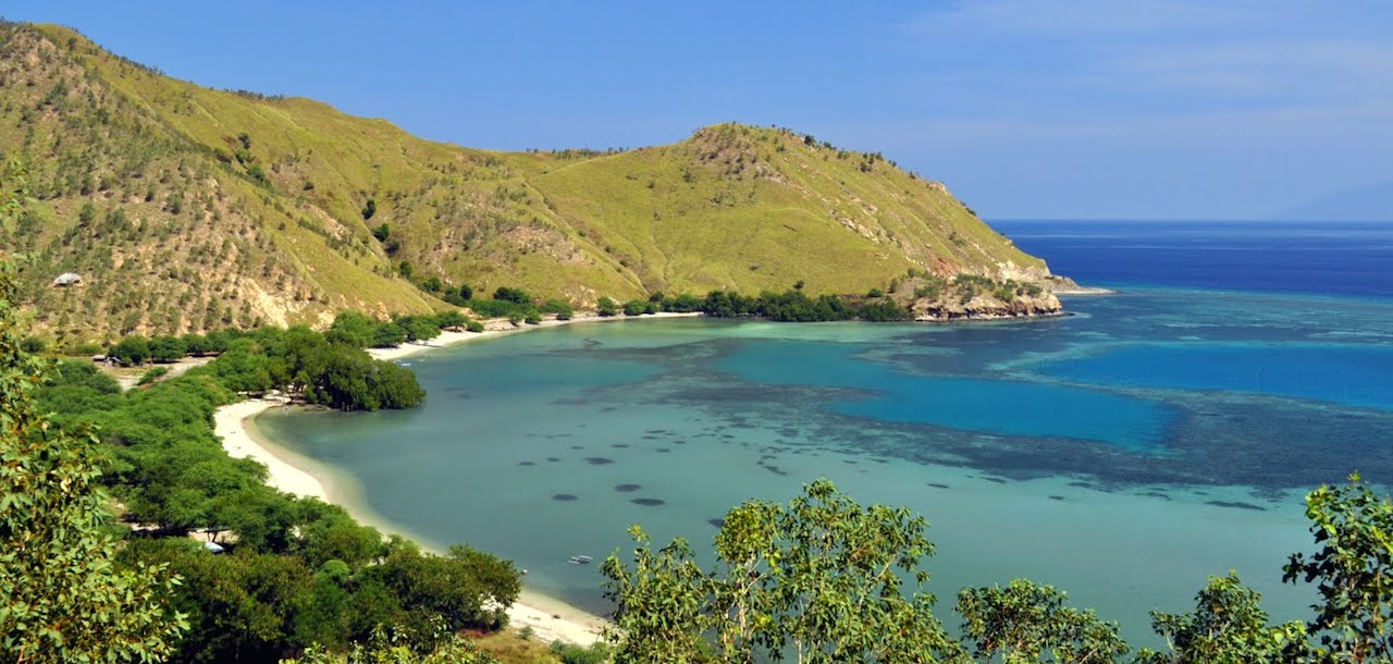
East Timor consists of the eastern half of the island of Timor, the nearby islands of Atauro and Jaco, and Oecusse, an exclave on the northwestern side of the island within Indonesian West Timor. East Timor has about 15,410 sq. km. (5,400 sq. mi.). About 37.4% of the country’s population lives below the international poverty line – living on less than U.S. $1.25 per day – and about 50% of the population is illiterate.
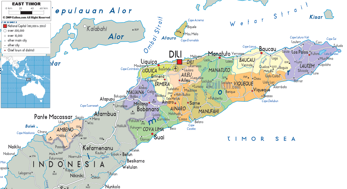
East Timor is divided into thirteen administrative districts, which, in turn, are subdivided into 65 subdistricts, 442 sucos (villages), and 2,225 aldeias (hamlets).
Select a District
Oecusse
Liquiçá
Dili
Manatuto
Baucau
Lautém
Bobonaro
Ermera
Aileu
Viqueque
Cova Lima
Ainaro
Manufahi