Dominica
Global Perspective, Local Expertise.™
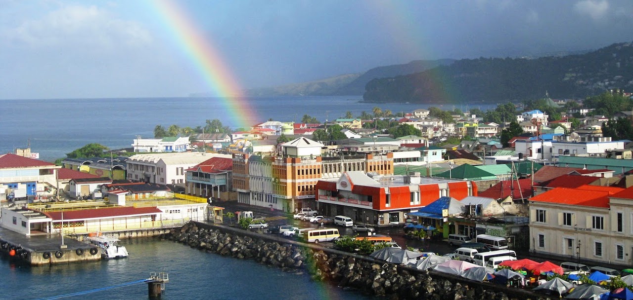
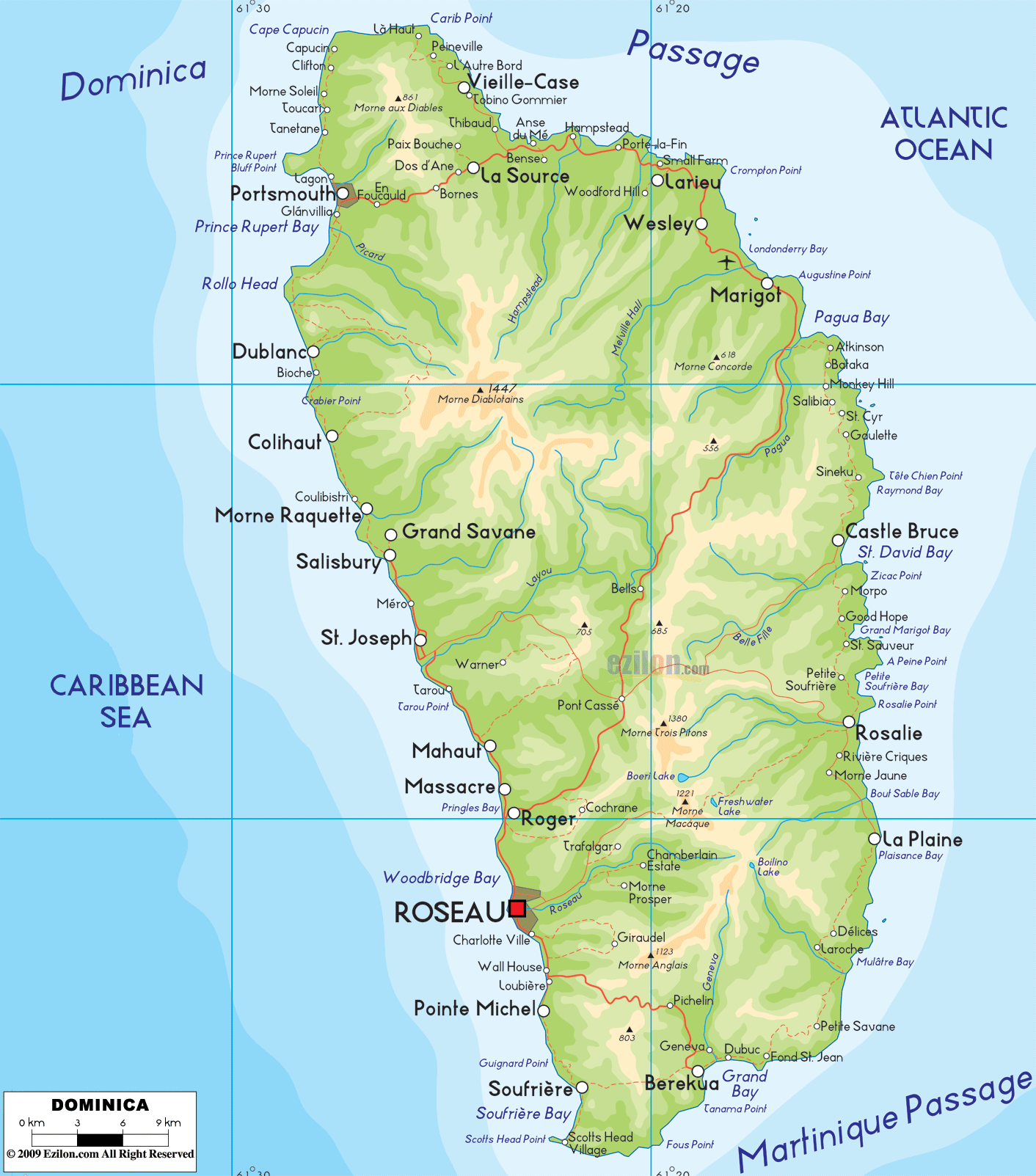
The Commonwealth of Dominica is an island nation in the Lesser Antilles. Dominica has 750 sq. km. (290 sq. mi.). The highest point of the island is Morne Diablotins, which has an elevation of 1,447 meters (4,747 ft.). Dominica had a population of 71,293 (2011). The capital is Roseau. Dominica had one of the lowest per capita gross domestic product (GDP) rates of Eastern Caribbean states.
Dominica is divided into 10 parishes.
Select a Parish > Town
Saint Andrew
> Anse du Mé
> Bense
> Calibishie
> Dos D’Ane
> Hampstead
> Marigot
> Paix Bouche
> Penville
> Thibaud
> Wesley
> Woodford Hill
> Vieille Case (also known as Itassi)
Saint David
> Castle Bruce
> Good Hope
> Grand Fond
> Morne Jaune
> Petit Soufrière
> Riviere Cyrique
> Rosalie
> San Sauveur
Saint George
> Bellevue Chopin
> Eggleston
> Fond Cani
> Giraudel
> Laudat
> Loubiere
> Louisville
> Morne Prosper
> Rousseau (capital)
> Trafalgar
> Wotten Waven
Saint John
> Bornes
> Capucin
> Clifton
> Cottage
> Portsmouth (called Grand Anse by locals)
> Tanetane
> Toucari
Saint Joseph
> Belles
> Coulibistrie
> Mero
> Morne Raquette
> Salisbury (also called Baroui)
Saint Luke
Saint Mark
> Galion
> Scotts Head
> Soufrière
Saint Patrick
> Bagatelle
> Bellevue Chopin (also in St. George)
> Boetica
> Bordeaux
> Delices
> Dubuc
> Fond St. Jean
> Geneva
> Grand Bay (also known as Berekua)
> Hagley
> La Plaine
> Montine
> Petite Savanne
> Pichelin
> Pointe Caribe
> Ravine Banane
> Stowe
> Tete Morne
Saint Paul
> Canefield
> Cochrane
> Mahaut
> Massacre
> Pont Cassé
> Springfield Estate
Saint Peter
> Bioche
> Colihaut
> Dublanc