Rotuma (FJ)
Global Perspective, Local Expertise.™
Rotuma is a Fijian dependency, consisting of Rotuma Island and nearby islets. The island group is home to a small but unique indigenous ethnic group which constitutes a recognisable minority within the population of Fiji, known as “Rotumans”. Its population is around 2,002 (2007 census).
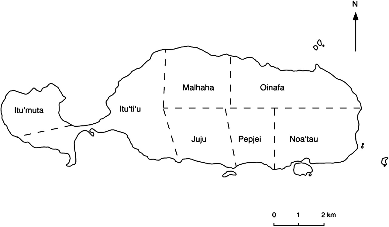
Rotuma is divided into seven autonomous districts, and each district has its own headman or chief (Gagaj ‘es Itu’u). The district chiefs and elected district representatives make up the Rotuma Island Council.
Select a District > Village
Noa’tau (extreme southeast)
> Faf’iasina
> Fekeioko
> Kalvaka
> Maragte’u
> Matu’ea
> ‘Ut’utu
Oinafa (east)
> Lopta
> Oinafa
> Paptea
Itu’ti’u (west, but east of western peninsula)
> Ahạu (Government Station)
> Fapufa
> Feavại
> Hapmak
> Lạu
> Losa
> Motusa
> Savlei
> Tuạ’koi
Malha’a (north)
> ‘Else’e
> ‘Elsio
> Pepheua
Juju (south)
> Haga
> Juju
> Tuại
Pepjei (southeast)
> Avave
> Uạnheta
> ‘Ujia
Itu’muta (western peninsula)
> Lopo
> Maftoa
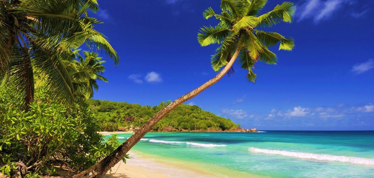
While very secluded from much of Fiji proper, the large reef and untouched beaches are renowned as some of the most beautiful in all of Fiji.
Some islands are located at a distance between 50 meters and 2 km from the main island, but still within the fringing reef.
Solnoho (south)
Solkope and Sari’i (southeast)
‘Afgaha and Husia Rua (far southeast)
Husia (Husiati’u) and Husiamea’me’a (close southeast)
Hạuamea’me’a and Hạua (Hạuati’u) (close together northeast).
Additionally, there is a separate chain of islands between 3-6 kilometers northwest and west of the westernmost point of Rotuma Island. From northeast to southwest, are:
Uea
Hạfhai
Hạfhahoi
Hạfhaveiaglolo
Hatana
Hạf’liua